





Movement. Understood.
From Video to Decisions.
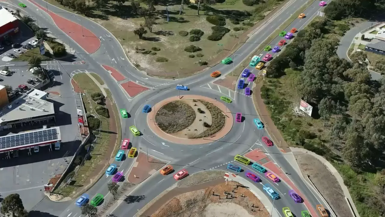
Turn camera footage into structured movement data for transport and planning professionals.
TRUSTED BY
Core capabilities
Built for Multi-Modal Transport Networks
Capture
Multi-modal movement tracking from standard, low-cost camera setups.
Analyse
Quantified movement at any
surveyed site.Reveal
Trends, anomalies and movement patterns across time and space.
Report
Structured datasets and visual summaries for planning and review.




How it works
Making Sense of Your Video.
- 1
Upload
Submit standard camera footage through the platform. No new hardware required.
- 2
Process
Automatically detect, track, and classify movement across all transport modes.
- 3
Explore
Review dashboards, filter by time or mode, and export analysis-ready datasets.
 Book a demo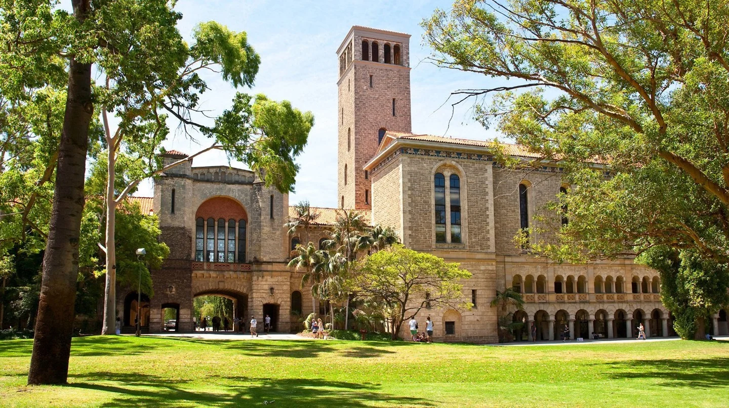


Research foundation
Built on Evidence, Not Assumptions
Developed at the University of Western Australia since 2018 and co-designed with transport professionals, the system is grounded in applied research and real-world validation.
Key research outcomes include:
- 98% detection accuracy under standard operating conditions, validated by Main Roads Western Australia
- Speed measurement within ±2 km/h of 10 Hz GPS reference data in over 80% of observations
- Research published in leading international peer-reviewed journals
- Validated across approximately 150 sites throughout Western Australia
The interface
Understand the Full Picture. Act on What Matters.Understand the Full Picture. Act on What Matters.
Map Movements in Minutes
Define origin and destination lines, then let traffic sort itself into the movements that matter.
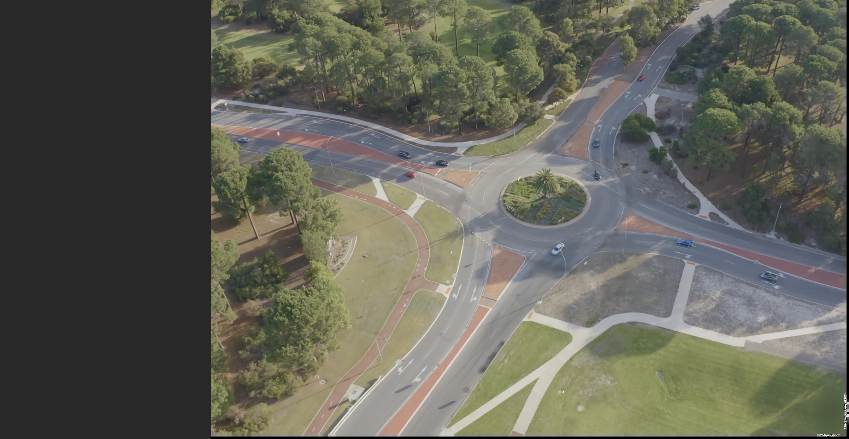
Map Movements in Minutes
Define origin and destination lines, then let traffic sort itself into the movements that matter.
Applications
Built for Transport DecisionsDesigned for Transport & Infrastructure Decisions
 Read more
Transport Safety Analysis
Near-miss detection and conflict analysis to support proactive safety interventions.

 Read more
Intersection Performance
Measure turning movements, queue lengths and signal efficiency with real observations.
 Read more
Active Transport Planning
Understand active transport user behaviour across corridors and public spaces.
 Read more
Impact Assessment
Evaluate movement impacts before and after infrastructure changes.
- Read more
Transport Safety Analysis
Near-miss detection and conflict analysis to support proactive safety interventions.
- Read more
Intersection Performance
Measure turning movements, queue lengths and signal efficiency with real observations.
- Read more
Active Transport Planning
Understand active transport user behaviour across corridors and public spaces.
- Read more
Impact Assessment
Evaluate movement impacts before and after infrastructure changes.

Deployment
Enterprise-Ready by Design
Built to integrate with existing infrastructure while meeting operational and privacy requirements from day one.
- Compatible with IP cameras, CCTV, portable survey setups and drone footage
- Secure cloud infrastructure with enterprise-grade controls
- Privacy-preserving by design, including automatic face and number plate blurring
- No facial recognition. No identifiable data stored
- Designed for Australian conditions, adaptable globally
Book a demo


Customers
You’re in Good Company
Trusted by the teams that plan, design and manage transport networks.


 Book a demo
Know what your cameras may be missing